When someone wonders where to fly a drone in Catalonia, they usually think first of the landscape: the blue of the Mediterranean, the snow-capped mountains or an old town seen from the air. All of that exists and is accessible, but the right question is not just "which place is most beautiful", but rather "which place is beautiful and, at the same time, where can I fly legally". This article brings together some of the best locations for aerial photography and video in the country, always with the reminder that each zone has its own framework of restrictions.
Important: this list is ideas and inspiration, not an authorisation. Before launching anything, you need to check the zone in the ENAIRE Drones app, comply with AESA regulations and, if the zone requires it, apply for the relevant permits. There are protected natural areas, controlled airspace and coastal strips where flying may be limited or prohibited. If you have doubts about a specific spot, we recommend first reading our drone permits guide for Barcelona and using the can you fly here? checker.
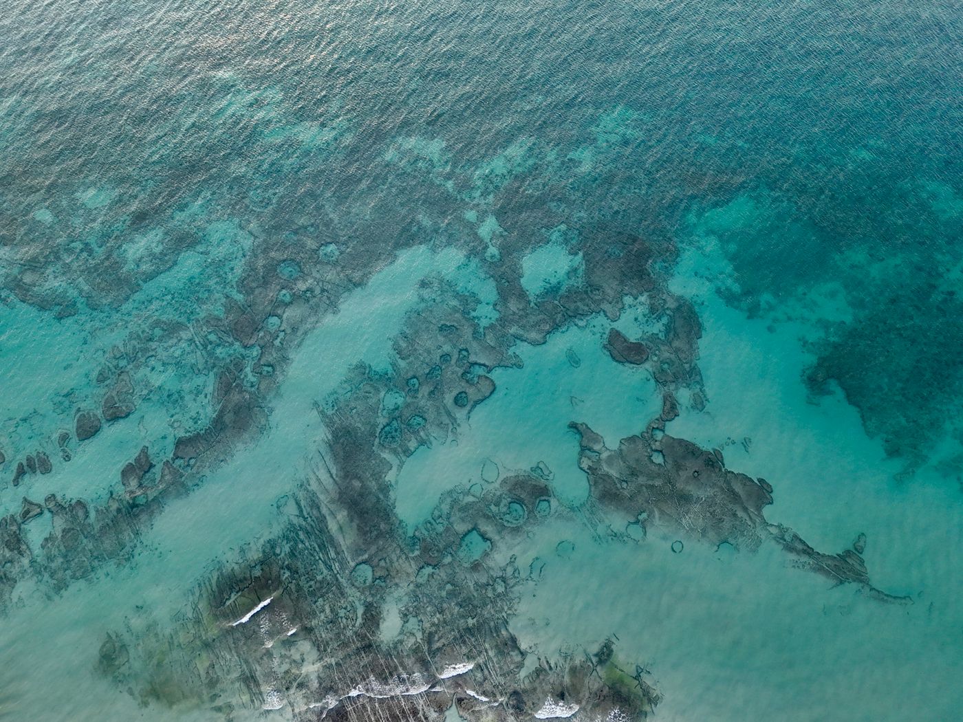
No location on this list is automatically "flyable". You always have to verify the specific zone in ENAIRE Drones, check whether there are restrictions (protected areas, airports, urban zones, events) and comply with AESA regulations. Many areas of the coast, the natural parks and the surroundings of Barcelona have limitations. When in doubt, don't fly: ask.
1. The Costa Brava: coves and cliffs
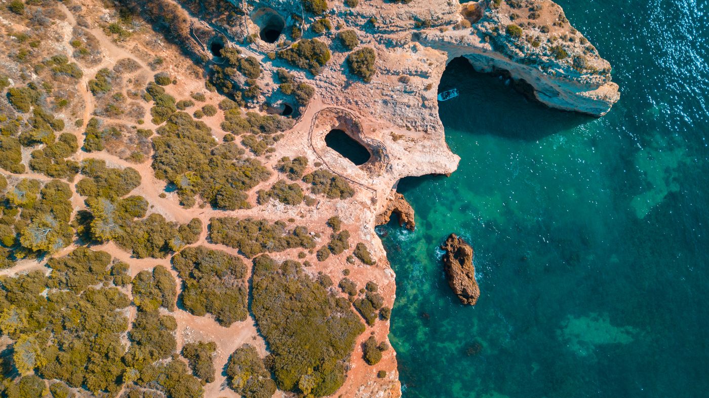
Few images sum up Catalonia as well as a Costa Brava cove seen from above: turquoise water, pine-dotted rocks and a jagged coastline that seems designed for a drone. It is probably the most photographed area of the country for aerial tourism imagery, and for good reason. Stretches like those of Begur, Tossa de Mar or Cap de Creus deliver opening shots that stop your finger on the screen.
That said, it is also a delicate area. Part of the coastline lies within protected natural areas (such as the Cap de Creus Natural Park) where flying may be restricted, and in summer the crowded beaches add limitations for privacy and safety. Before planning a shoot here, check the exact strip in ENAIRE and, if you want to see how we approach it, take a look at our drone on the Costa Brava service.
2. The Pyrenees: peaks, valleys and high-mountain lakes
If the coast is blue, the Pyrenees are green and white. Glacial valleys, high-mountain lakes, endless forests and, in winter, snowy landscapes: the imagery of the Catalan mountains is pure gold for an aerial video. The Cerdanya area, the Vall de Boí or the Aigüestortes National Park offer postcard scenery.
The trap here is twofold. On the one hand, national and natural parks usually have a ban or severe restriction on drone flights: Aigüestortes, for example, is a space where flying without specific authorisation is not viable. On the other, high mountains involve technical challenges (wind, altitude, cold) that demand experience. Never assume that a remote valley is a "free zone": most protected areas are clearly marked in ENAIRE and require permission from the managing body.
3. The Ebro Delta: horizons and rice fields
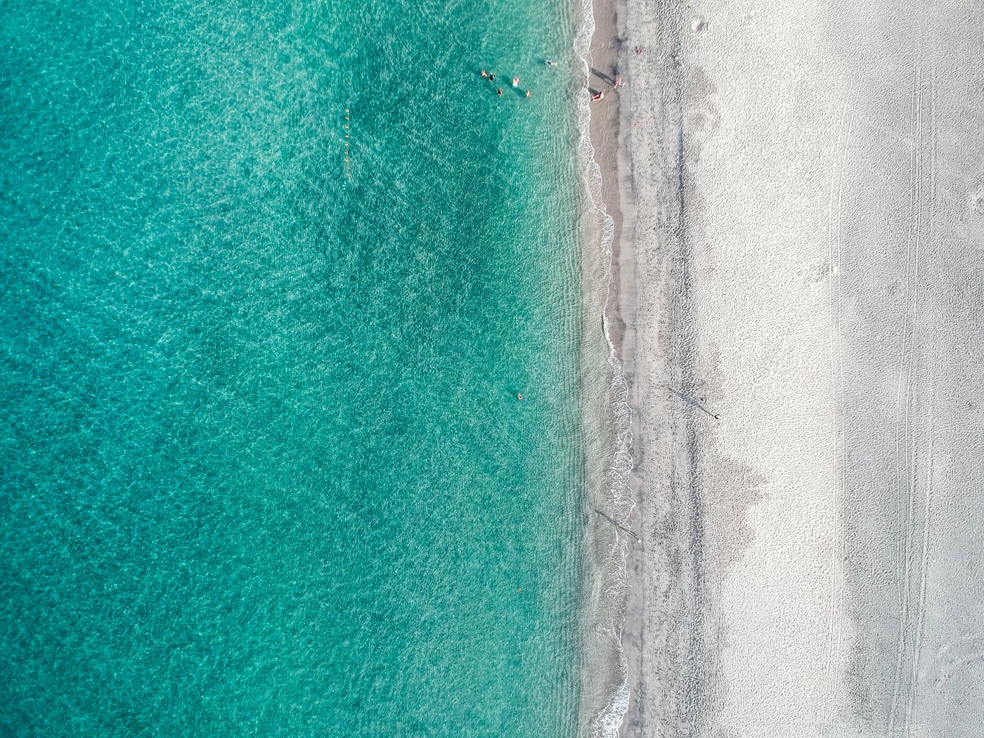
The Ebro Delta is one of the most hypnotic locations for the aerial camera: rice fields that change colour with the seasons, lagoons, salt flats and a horizon so flat it looks painted. From the air, the paths between fields trace geometric patterns impossible to see from the ground. For nature, gastronomy or landscape imagery, it is one of the best spots in Catalonia.
But beware: the Delta is a Natural Park and an area of enormous ornithological value. The presence of protected birds means flying here is especially regulated, and there are areas where it is simply not allowed. Wildlife must never be disturbed by the drone. If you want to work here, checking ENAIRE and coordinating with the park manager are not optional: they are mandatory.
4. The silhouette of Montserrat and the magic mountain
The serrated shape of Montserrat is one of the most recognisable images of Catalonia, and from the air its silhouette of rocky pinnacles is spectacular. The mountain, the monastery and the surroundings compose shots with an almost mystical force, much sought after for brand pieces, tourism or documentaries.
As you might expect, it is also a delicate and heavily visited area. It is a Natural Park with a constant influx of people, and the surroundings may have flight restrictions that need to be verified beforehand. It is not a place to improvise: the combination of large crowds, protected space and complicated terrain means that here, more than anywhere, you need to plan with permits and often rely on an authorised operator who handles the legal side.
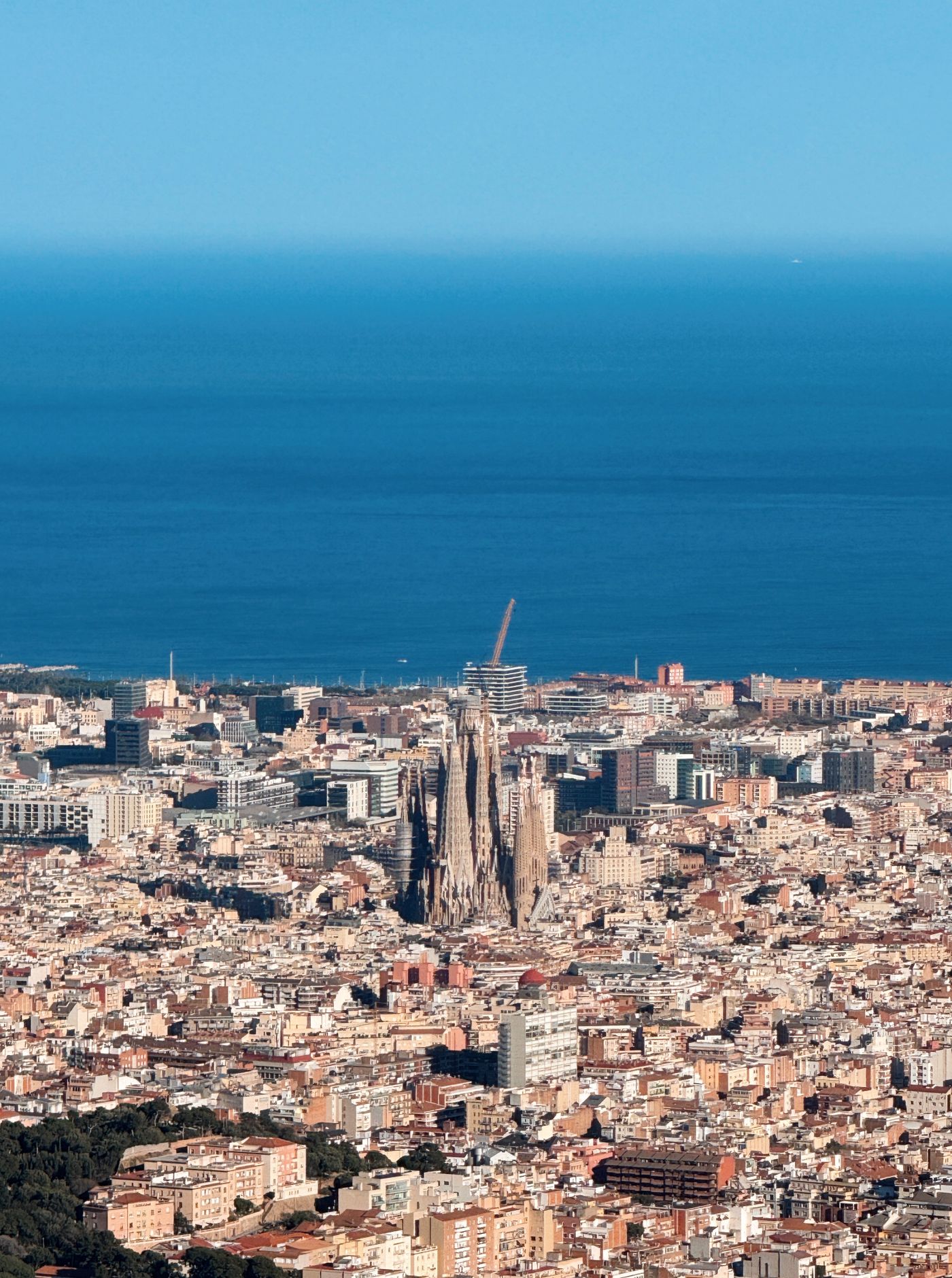
5. Barcelona from the air: iconic and demanding
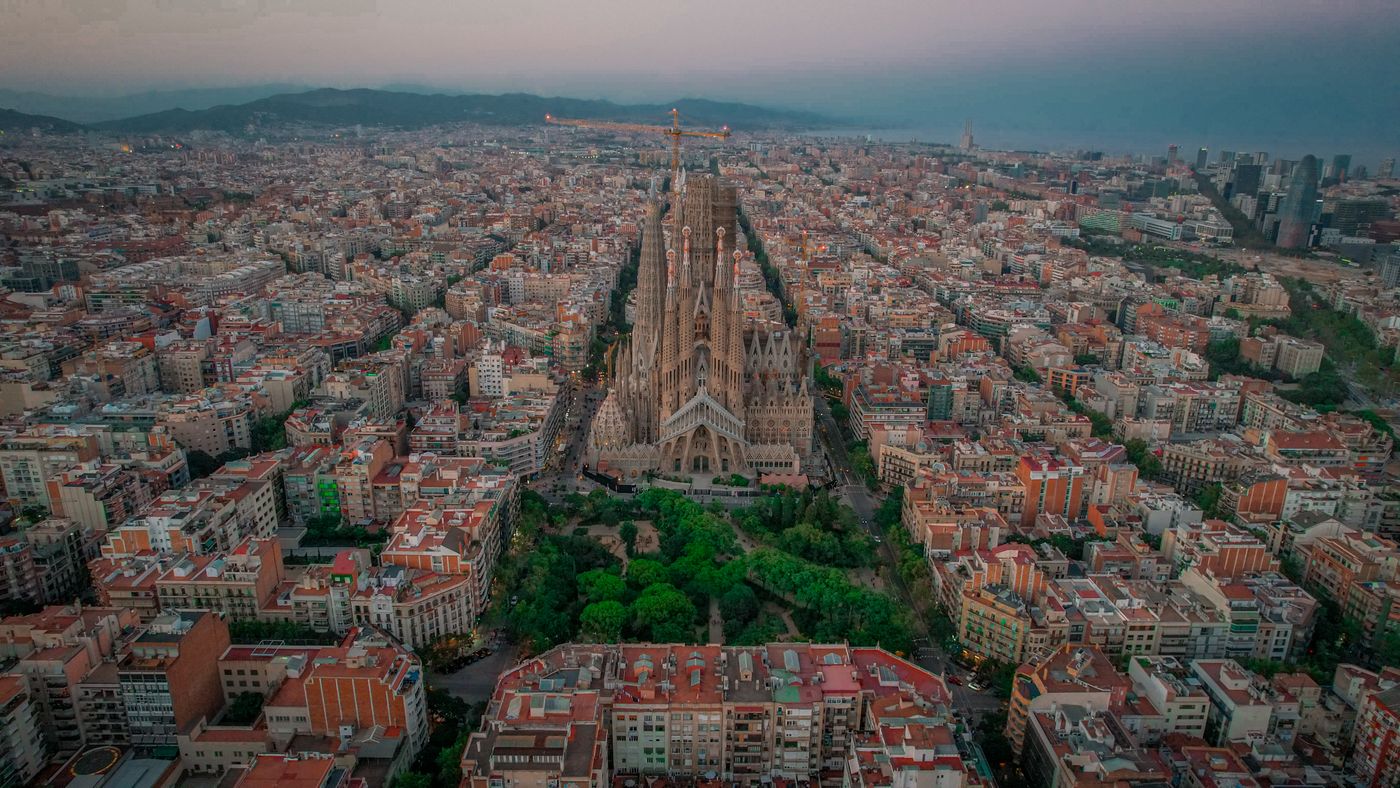
The Barcelona skyline, the Sagrada Família, the waterfront or the grid of the Eixample seen from above are images everyone would love to have. And technically they are possible, but with a big asterisk: Barcelona city is controlled airspace (a CTR zone). Flying there on a whim is not only illegal, but dangerous.
There is no shortcut here: it requires coordination with air traffic control, prior communications, often a risk assessment and, in urban areas, authorisation from the Police of the Generalitat – Mossos d'Esquadra. That is why aerial images of Barcelona are almost always made by AESA-authorised operators who handle the entire chain of permits. If your project needs the city from the air, the best thing is to talk about it first: we explain it in the permits guide.
6. Medieval villages and the rural interior
Beyond the coast and the mountains, the interior of Catalonia hides gems for the aerial camera: medieval villages like Besalú or Rupit, the fields of the Garrotxa, the vineyards of the Penedès or solitary castles in the middle of the landscape. These locations, often less crowded, can offer calmer flights and images with a lot of personality, ideal for rural tourism, wine and heritage.
The fact that they are sparsely populated areas does not mean they are free of restrictions. There may be nearby natural areas, reserves or limitations due to proximity to infrastructure. The rule is always the same: open ENAIRE, look at the specific zone and act accordingly. The calm of a village does not, by default, equate to permission to fly.
The golden rule: no image is worth an infraction
However spectacular a location may be, no shot justifies flying illegally. The penalties for doing so in controlled airspace or in protected areas are high, and the risk to people, wildlife and property is real. A serious operator would rather give up an image than endanger safety or break the rules.
- Always check ENAIRE Drones for the exact zone and the date of the flight.
- Respect protected areas (natural and national parks, the Ebro Delta, Cap de Creus, Aigüestortes…): they usually have bans or specific permits.
- Barcelona and other CTR zones require coordination with air traffic control: you can't improvise.
- Don't disturb wildlife or invade people's privacy at beaches, villages or events.
- Fly insured and registered as an AESA operator when carrying out professional work.
Catalonia has some of the best locations in Europe for aerial imagery —from the Costa Brava to the Pyrenees, taking in the Ebro Delta, Montserrat and Barcelona—, but they all share the same condition: fly only where and how the regulations allow. If you have a project and don't know whether your location is viable, we do the check for you and, if needed, manage the permits as an authorised operator. You bring the idea; we handle the legal side.
Let's talk about your project → Check if you can fly here
Want to keep reading? You'll find more articles in the Journal, our drone permits guide for Barcelona and the can you fly here? checker. And if your location is the northern coast, take a look at our drone on the Costa Brava service.