Surveying
and 3D
Technical service for drone surveying and photogrammetry in Barcelona: georeferenced orthophotos, 3D models, point clouds and volume calculations for architects, engineers and construction companies. Precise, traceable data for your projects.
What we
deliver
Georeferenced data, ready for your technical software.
Georeferenced orthophotos
High-resolution mosaics with real coordinates (GeoTIFF), ready for GIS and CAD.
DTM and DSM
Digital terrain and surface models to analyse relief, slopes and contour lines.
Point clouds
Dense point clouds (LAS/LAZ) with millions of points for measurements and 3D modelling.
Volume and earthwork calculations
Measurement of earthmoving, stockpiles and excavations with an accompanying report.
3D models
Textured meshes (OBJ/mesh) and faithful 3D models of terrain, worksites and structures.
Contour lines and CAD
Contour lines and vector drawings (DXF/DWG) that integrate into your workflow.
Reliable
data
Teams that
need data
Drone surveying and photogrammetry at the service of your projects.
Architects
As-built surveys, urban contexts and 3D models for new projects and refurbishment.
Engineers
Base mapping, DTM and terrain cross-sections for civil works and urbanisation projects.
Construction companies
Site monitoring, earthwork control and progress certification with objective data.
Town councils
Orthophotos and territory models for planning, heritage and public space management.
Quarries
Calculation of extraction and stockpile volumes with periodic, traceable measurements.
Surveying firms
Aerial support to extend coverage and speed up large-area surveys.
From the flight
to the data
Drone photogrammetry captures hundreds of overlapping aerial photographs which, processed with high-precision algorithms, generate a faithful three-dimensional model of the terrain. Over the flight we place ground control points (GCP) and use RTK/PPK positioning to georeference every piece of data with centimetre accuracy.
From there we build georeferenced orthophotos, digital terrain and surface models (DTM/DSM), dense point clouds and textured 3D models. With this data we calculate volumes and earthworks, extract contour lines and deliver CAD drawings ready for your technical software.
The whole process is far faster and safer than a traditional topographic survey: we cover large areas in a single flight, without stepping into hazardous zones, and we deliver precise, traceable and updatable data within a few days.
Recent
projects
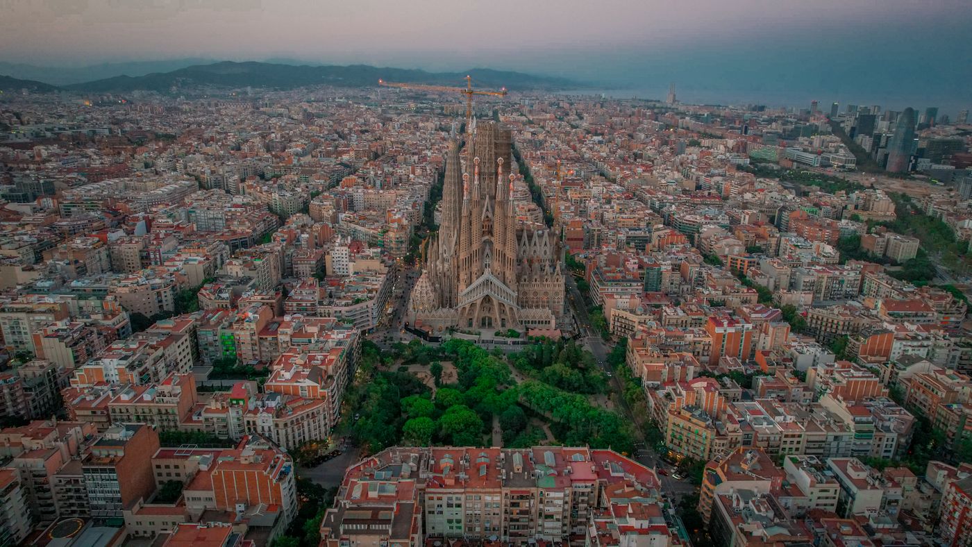
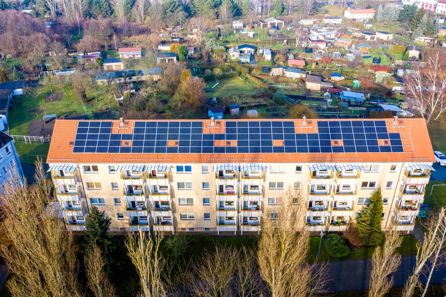
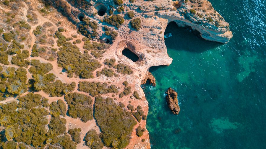
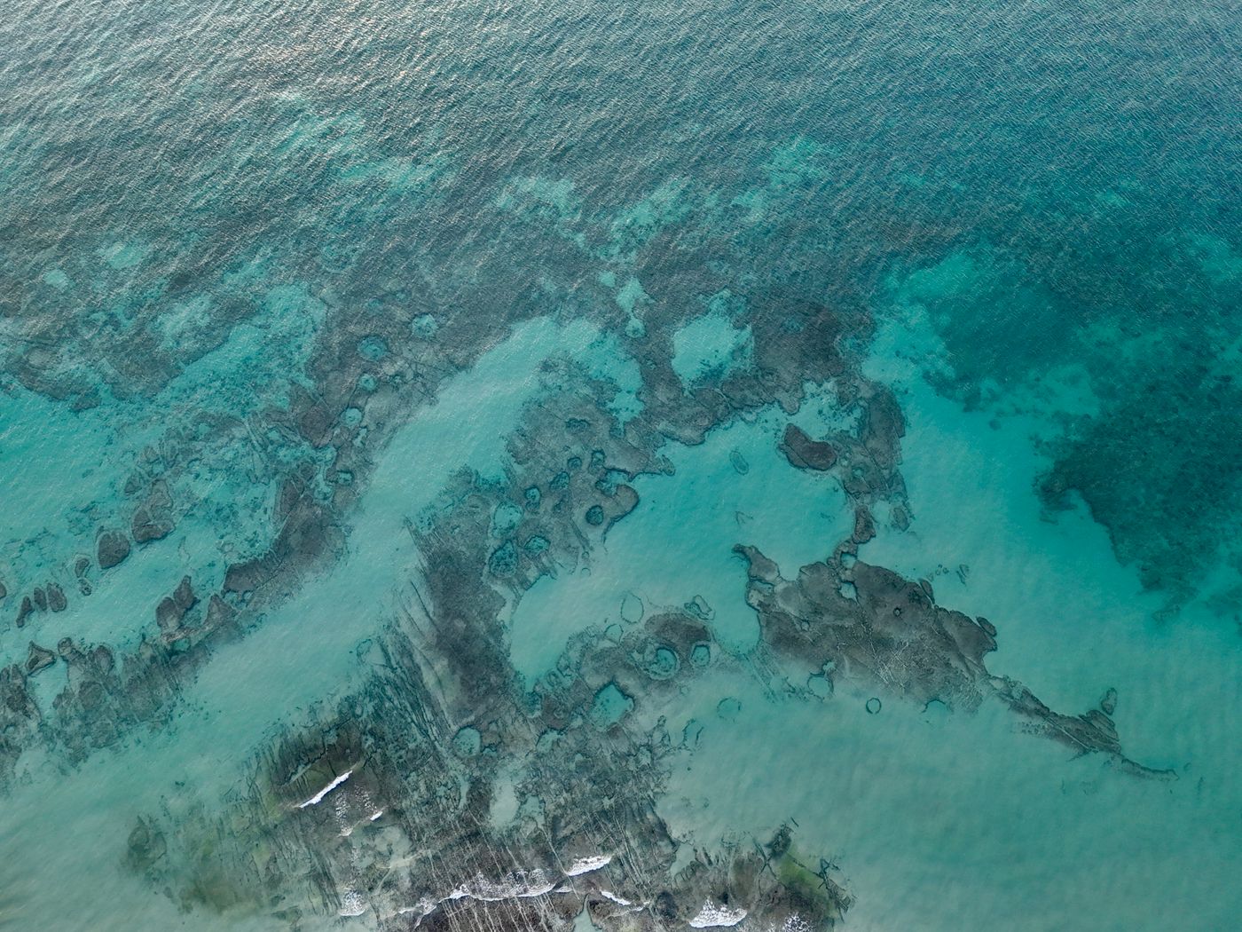
Sample material. Your terrain, here soon.
Technical
queries
What accuracy do you achieve with drone photogrammetry?
We work with ground control points (GCP) and RTK/PPK positioning to reach accuracies of a few centimetres, sufficient for surveying, engineering projects and construction monitoring. The final accuracy depends on the goal of the project and we adjust it to your needs.
In which formats do you deliver the data?
We deliver georeferenced orthophotos (GeoTIFF), digital terrain and surface models (DTM/DSM), point clouds (LAS/LAZ), 3D models (OBJ, mesh) and contour lines or CAD (DXF/DWG) according to your team's workflow.
Can you calculate volumes and earthworks?
Yes. From the digital terrain model we calculate earthwork volumes, stockpiles and cubic measurements with an accompanying report, ideal for quarries, landfills, civil works and excavation control.
Who is this service for?
For architects, engineers, construction companies, surveying firms, town councils and public administrations, quarries and earthmoving companies that need precise mapping, 3D models and reliable terrain measurements.
How long does a drone topographic survey take?
Flying a medium-sized plot or worksite is resolved in a few hours on the same day. The photogrammetric processing and data delivery is done within a few days, much faster than a traditional ground-based topographic survey.
Can you fly in Barcelona and in controlled airspace?
Yes. As an AESA-authorised operator we manage coordination with ENAIRE and the permits required to fly in controlled airspace (CTR) and in the city. Here we explain how it works.
Other
services
Combine surveying with the rest of our technical capabilities.
If you need diagnostics of assets and structures, we carry out technical drone inspections of roofs, façades, solar panels and infrastructure with high-resolution imagery and thermography. And if you have a surveying or photogrammetry project in mind, tell us about your case and we'll prepare a tailored quote.